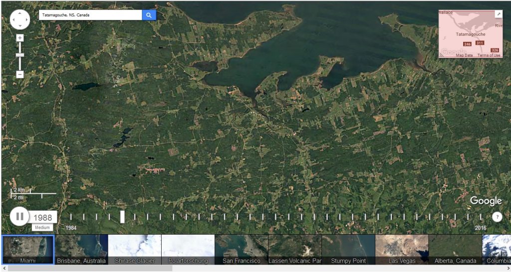
Google Timelapse, https://earthengine.google.com/timelapse/, uses the Google Earth satellite data from 1984 to the present to show changes in ground cover. When you put in your location it shows a video of the changes, in our case below it looks predominately like a pattern of clear-cutting in different parts of a grid. The zoom, pan and playback speed are adjustable, and a tool such as Video DownloadHelper, an add-on for Firefox, can record a video clip.
This is a sample image. Just key in the location in which you have an interest.

https://earthengine.google.com/timelapse/